KAKADU AND NITMILUK NATIONAL PARKS from the AIR in the WET SEASON
Hi again
Last week I travelled to Katherine to attend an Indigenous ranger conference. We travelled by a light charter aircraft - a Beechcraft Barron.
Come with me for a scenic flight over the Top End of the NT?
We flew from Croker Island to Goulburn Island first to picked a ranger there before tracking over north west Arnhem Land and then western Kakadu National Park and onto Nitmiluk National Park before landing at the RAAF's Tindal Base near Katherine.
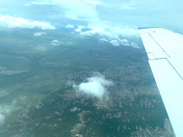
Western Arnhem Land and Kakadu NP share a common boundary which for the most part runs through rugged sandstone country - see below.
Our charter flight had been delayed for five hours due to weather - the remains of a low pressure system that had moved slowly over to Queensland. As the photo below shows, there was still lots of clouds around and some rain.
Not good forced landing country down there!
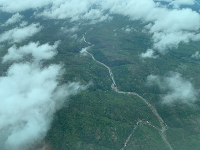
During the wet season, the rivers in this area are all pumping.
As we enter the Nitmiluk NP, we fly over more sandstone country which forms part of the catchment area for the Katherine River. As we travel further inland the amount of cloud decreases.
Thousands of tourists visit Nilmiluk or Katherine Gorge each year. Most only do the shorter, two hour tour which only covers the lower end of the gorge (first and second gorges).
There are actually many other gorges upstream of the first two. As I flew over the gorge I was reminded of the numerous kayaking trips our family has enjoyed in Katherine Gorge over the years. My favourites parts are gorges 4, 5 and 6 which can be seen in the photo below. NOTE: The gorges are divided by rock bars where in the dry season, you have to carry your kayak across to the next stretch of deeper water. For the tour boats, their passengers have to alight from one tour boat and walk to the next gorge and into another tour boat for the next gorge and so on.
A few minutes after flying over the gorge we arrive at Tindal Airforce Base. Civil aircraft are allowed to use this runway. The civil terminal and maintenance area is on the left at the far end of the runway in the photo below. At the far or north west end of the runway there are some major upgrade works and runway extensions happening at the moment. Our son Jayson has been working there for a while. Kristy's brother was also working there until recently.
While in Katherine I was able to catch up with Jayson three times which was very special.
On Friday, as we departed I was able to take the photo below which shows the upgrade works happening at Tindal.
As we were heading direct to Croker Island for the first leg of the return flight, our track on Friday was a little to the west of our track on Monday meaning some different scenery. You also will notice there is much less cloud for the return flight. The photo below shows the Katherine Gorge slicing through the sandstone country before flowing out onto the plain country, passed the township of Katherine and then generally in a north westerly direction towards the sea.
Some years ago I had the pleasure of walking the Jatbula Walking Track, from the Nitmiluk NP (Katherine Gorge) to Edith Falls NP, firstly with Nancy and then a few years later with Dean. It took five days. One of the overnight camping grounds is at the Seventeen Mile Creek Falls - shown in the photo below.
The photo below of the Seventeen Mile Falls from the ground was taken in 2006 on the walk with Nancy.
And likewise this photo - enjoying a swim in the pool at the top of the falls after a hot day's walk - a very beautiful spot!
Flying further north into Kakadu NP we flew passed another popular tourist attraction - Cooinda/Yellow Waters - the resort is between the closer end of the runway and the billabong. Many people have enjoyed a boat trip around the billabong seeing some of the abundant wildlife in Kakadu NP.
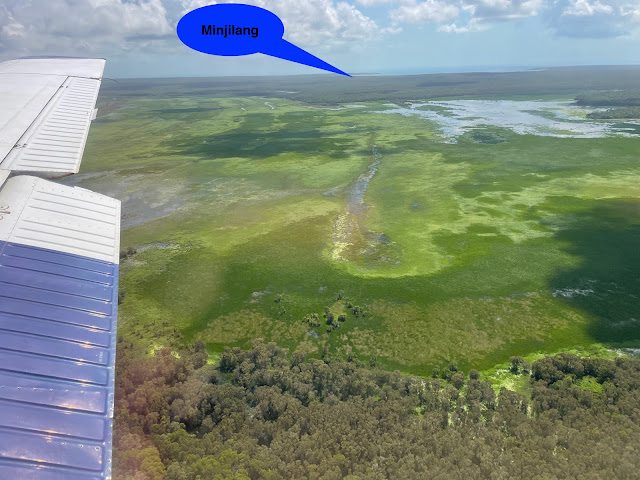
As we descend below the cloud bases we see Croker Island - Point David, the southern point of Croker is just off the right wing tip.

And then we line up for runway 31. The current airport is located on the west side of the island however the community is on the east side - see photo below. Why would the airport be on the opposite side of the island? Well there was a small strip over on the east side which I landed on back in the 1990s however it had a 2% slope. When larger aircraft were required to land at Croker Island it was decided to move the runway and the west side of the island was the only suitably flat ground for a runway. This means that we have to drive 15 kms across the island including a floodplain to get to the airport now days.


Comments